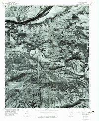
1976 Map of Lavaca
USGS Topo · Published 1984About this map
Lavaca sits at the heart of this mid-1970s orthophotograph, where the agricultural patterns of Sebastian County meet the winding course of the Arkansas River. The map provides a unique visual record of the land surface as it appeared in early 1976, revealing the intricate field boundaries, woodlots, and road networks that defined the region before further modern development. South of the main settlement, the community of Bloomer is visible along the highway corridor, while the drainage of Vache Grasse Creek carves a distinct path through the terrain. Unlike standard topographic line maps, this photographic survey captures the literal texture of the Arkansas landscape, from the dense riparian vegetation along the riverbanks to the cleared pastures and homesteads that supported the local rural economy during this era.
Find a feature on this map
4 named features on this map. Tap any name to fly to it.
Don’t see what you’re looking for? This feature index may not catch every label — zoom into the map to look around manually.
Map Details
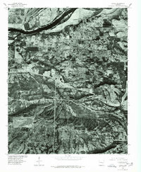
Editions of this 1976 Lavaca Map
2 editions found
Other maps of this area

1879 · Fort Smith
USGS Topo · 1:62,500

1887 · Van Buren
USGS Topo · 1:62,500

1887 · Greenwood
USGS Topo · 1:62,500

1890 · Fort Smith
USGS Topo · 1:125,000

1906 · Lavaca
USGS Topo · 1:62,500

1906 · Barber
USGS Topo · 1:62,500

1943 · Fort Smith
USGS Topo · 1:125,000

1946 · Fort Smith
USGS Topo · 1:250,000
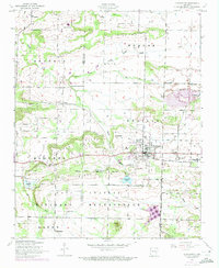
1946 · Charleston
USGS Topo · 1:24,000

1947 · Lavaca
USGS Topo · 1:62,500