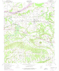
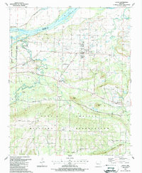
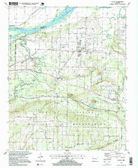
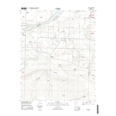
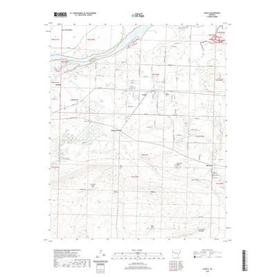
1947 Map of Lavaca
USGS Topo · Published 1974About this map
Vache Grasse Creek winds through a landscape defined by both industrial activity and military expansion in this mid-century survey of Sebastian County. The town of Lavaca sits at the center of a transportation network served by the Missouri Pacific railroad, while several strip mines to the west indicate the era's local extractive industry. A significant portion of the southern terrain is occupied by the Fort Chaffee Military Reservation, with early routes like Old Military Road and Fort Smith Boulevard traversing the area.
Find a feature on this map
53 named features on this map. Tap any name to fly to it.
Don’t see what you’re looking for? This feature index may not catch every label — zoom into the map to look around manually.
Map Details
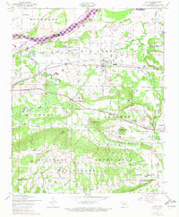
Editions of this 1947 Lavaca Map
2 editions found
Historical Maps of Barling Through Time
12 maps found

1906 Lavaca
Sebastian County, AR
1947 Lavaca
Sebastian County, AR
1947 Lavaca
Sebastian County, AR
1951 Lavaca
Sebastian County, AR

1976 Lavaca
Sebastian County, AR
1987 Lavaca
Sebastian County, AR
1997 Lavaca
Sebastian County, AR
2011 Lavaca
Sebastian County, AR
2014 Lavaca
Sebastian County, AR
2017 Lavaca
Sebastian County, AR
2020 Lavaca
Sebastian County, AR
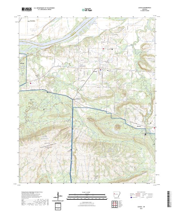
2024 Lavaca
Sebastian County, AR