
1972 Map of Lavalette
USGS Topo · Published 1974About this map
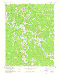
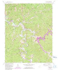
The winding course of Twelvepole Creek and its many tributaries, such as Newcomb Creek, dominate this survey of southern Wayne County in the early 1970s. The landscape is undergoing a significant transition, with blue hatching marking the footprint of the soon-to-be expanded Beech Fork Lake, an area designated for controlled inundation. This change in the local geography contrasts with the established rural infrastructure of settlements like Lavalette and Dickson. The Norfolk and Western railroad snakes through the valleys, supporting a region dotted with numerous gas wells and small country churches, including Lynn Chapel and Mays Ch. Genealogists will find particular value in the documentation of local burying grounds such as Mt Union Cem and Mt Vernon Cem, while the inclusion of Dickson Falls and various unnamed golf courses reflects the recreational character of the area during this era.
Find a feature on this map
49 named features on this map. Tap any name to fly to it.
Don’t see what you’re looking for? This feature index may not catch every label — zoom into the map to look around manually.
Map Details
Editions of this 1972 Lavalette Map
3 editions found
Other maps of this area

1892 · Huntington
USGS Topo · 1:125,000

1898 · Huntington
USGS Topo · 1:125,000

1901 · Guyandot
USGS Topo · 1:62,500

1901 · Ceredo
USGS Topo · 1:62,500

1902 · Guyandot
USGS Topo · 1:62,500

1903 · Kenova
USGS Topo · 1:125,000

1904 · Kenova
USGS Topo · 1:125,000

1909 · Wayne
USGS Topo · 1:62,500

1911 · Louisa
USGS Topo · 1:48,000

1913 · Ceredo
USGS Topo · 1:62,500