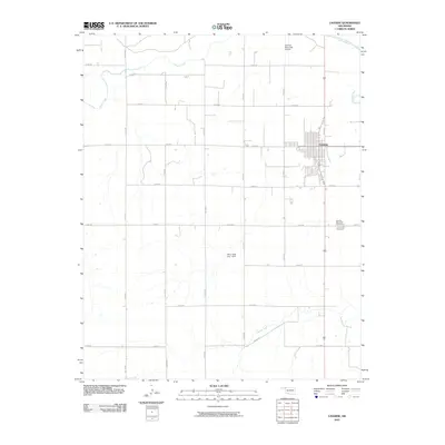
2010 Map of Laverne
USGS Topo · Published 2010About this map
Laverne anchors this section of Harper County, showing a methodical grid of residential streets and agricultural infrastructure at the start of the twenty-first century. The town's layout is bordered to the north by the Beaver River and Laverne Municipal Airport, while the surrounding landscape is defined by a strictly surveyed section-line road system. This rural network connects remote agricultural plots and water management features like the Paint Creek Site 1 Dam. Waterways such as Kiowa Creek and Spring Creek cut across the flat plains, providing natural drainage through the largely pastoral terrain. The Laverne Memorial Cemetery sits just south of the main town site, serving as a significant point of interest for those researching local family histories and the community's geographic footprint in Northwest Oklahoma.
Find a feature on this map
22 named features on this map. Tap any name to fly to it.
Don’t see what you’re looking for? This feature index may not catch every label — zoom into the map to look around manually.
Map Details
Editions of this 2010 Laverne Map
This is the sole edition of this map. No revisions or reprints were ever made.
Other maps of this area

1954 · Perryton
USGS Topo · 1:250,000

1955 · Woodward
USGS Topo · 1:250,000

1958 · Perryton
USGS Topo · 1:250,000

1958 · Woodward
USGS Topo · 1:250,000

1970 · Gate
USGS Topo · 1:24,000

1970 · Laverne SW
USGS Topo · 1:24,000

1971 · Rosston SE
USGS Topo · 1:24,000

1971 · Rosston
USGS Topo · 1:24,000

1971 · Logan NE
USGS Topo · 1:24,000

1971 · Slapout
USGS Topo · 1:24,000