
1971 Map of Rosston
USGS Topo · Published 1973About this map
Rosston serves as the central hub of this Harper County survey, situated just north of where the Beaver River and Kiowa Creek converge. The landscape is defined by the infrastructure of the energy industry, with numerous Gas Wells and a prominent Pipeline cutting through the terrain. The Missouri-Kansas-Texas line provides the primary transit corridor, running through the heart of the settlement and out toward the prairie. Local history is anchored by the Pleasant Ridge Cem in the northeast and a singular Grave marked near Roadside Park. This map documents a period when rural industrial features like a Claypit and Graves mine existed alongside established watercourses, illustrating the mid-century intersection of ranching country and natural gas extraction.
Find a feature on this map
16 named features on this map. Tap any name to fly to it.
Don’t see what you’re looking for? This feature index may not catch every label — zoom into the map to look around manually.
Map Details
Editions of this 1971 Rosston Map
This is the sole edition of this map. No revisions or reprints were ever made.
Other maps of this area

1954 · Perryton
USGS Topo · 1:250,000

1955 · Woodward
USGS Topo · 1:250,000

1958 · Perryton
USGS Topo · 1:250,000

1958 · Woodward
USGS Topo · 1:250,000

1970 · Gate
USGS Topo · 1:24,000
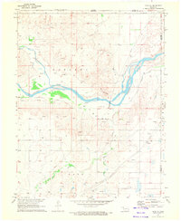
1970 · Gate NE
USGS Topo · 1:24,000
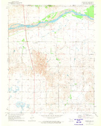
1970 · Rosston NW
USGS Topo · 1:24,000

1970 · Rosston NE
USGS Topo · 1:24,000

1971 · Rosston SE
USGS Topo · 1:24,000

1971 · Logan NE
USGS Topo · 1:24,000