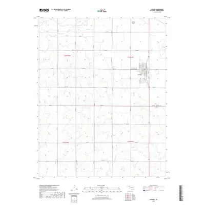
2018 Map of Laverne
USGS Topo · Published 2018About this map
Laverne serves as the primary hub in this Oklahoma High Plains landscape, situated along the Beaver River and Kiowa Creek. The town's grid is well-defined by central thoroughfares like Main St and Jane Jayroe Blvd, which transitions into the surrounding rural section lines. To the southeast, the Laverne Memorial Cem and Highland Cem provide essential points of interest for genealogical research and local history. The presence of the Laverne Municipal Airport and a network of county roads, such as E0200 Rd, illustrates the region's 21st-century infrastructure while maintaining the traditional township and range divisions of the Southern Plains. The drainage patterns of Spring Cr and other small tributaries show the typical erosion of the regional plateau into the river valley.
Find a feature on this map
28 named features on this map. Tap any name to fly to it.
Don’t see what you’re looking for? This feature index may not catch every label — zoom into the map to look around manually.
Map Details
Editions of this 2018 Laverne Map
This is the sole edition of this map. No revisions or reprints were ever made.
Other maps of this area

1954 · Perryton
USGS Topo · 1:250,000

1955 · Woodward
USGS Topo · 1:250,000

1958 · Perryton
USGS Topo · 1:250,000

1958 · Woodward
USGS Topo · 1:250,000

1970 · Gate
USGS Topo · 1:24,000

1970 · Laverne SW
USGS Topo · 1:24,000

1971 · Rosston SE
USGS Topo · 1:24,000

1971 · Rosston
USGS Topo · 1:24,000

1971 · Logan NE
USGS Topo · 1:24,000

1971 · Slapout
USGS Topo · 1:24,000