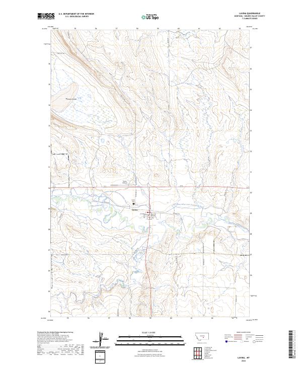
2024 Map of Lavina
USGS Topo · Published 2024About this map
The Musselshell River meanders through the central landscape of this Montana survey, anchoring the settlement of Lavina. The town's grid is clearly defined by historical thoroughfares like Main St and Railway Ave, reflecting its orientation toward early transportation corridors. Agricultural development is evident through the extensive reach of the Lavina Water Users Association Ditch, which follows the river's contour to manage the region's water resources.
Find a feature on this map
26 named features on this map. Tap any name to fly to it.
Don’t see what you’re looking for? This feature index may not catch every label — zoom into the map to look around manually.
Map Details
Editions of this 2024 Lavina Map
This is the sole edition of this map. No revisions or reprints were ever made.
Other maps of this area

1889 · Big Snowy Mountain
USGS Topo · 1:250,000

1893 · Big Snowy Mountain
USGS Topo · 1:250,000

1954 · Roundup
USGS Topo · 1:250,000

1958 · Roundup
USGS Topo · 1:250,000

1979 · Roundup
USGS Topo · 1:100,000

1979 · Bundy
USGS Topo · 1:24,000

1979 · Lavina NW
USGS Topo · 1:24,000

1979 · Timber Buttes South
USGS Topo · 1:24,000

1979 · Lavina
USGS Topo · 1:24,000

1979 · Belmont
USGS Topo · 1:24,000