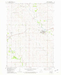
2022 Map of Lawler
USGS Topo · Published 2022About this map
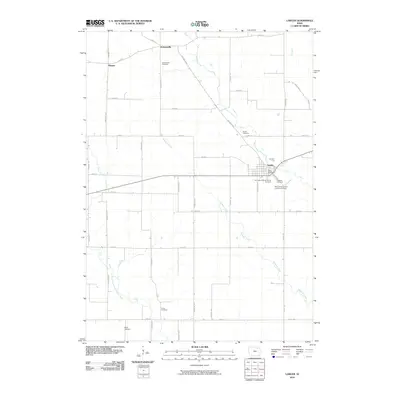
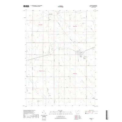
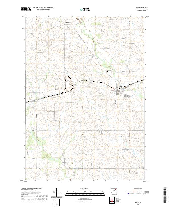
Lawler serves as the primary hub in this Chickasaw County landscape, situated where the terrain transitions toward the E Fork Wapsipinicon River. The map reveals a dense network of early burial sites that speak to the area's pioneer and immigrant history, including Our Lady of Mount Carmel Cem and the Saint Johns German Lutheran Cem. These sites, along with others like the Jacksonville Cem near the settlement of Jacksonville, suggest a heritage of distinct community and denominational enclaves.
Find a feature on this map
33 named features on this map. Tap any name to fly to it.
Don’t see what you’re looking for? This feature index may not catch every label — zoom into the map to look around manually.
Map Details
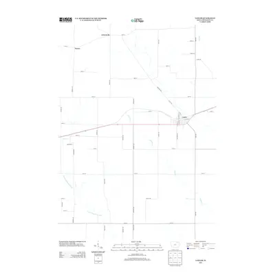
Editions of this 2022 Lawler Map
This is the sole edition of this map. No revisions or reprints were ever made.
Historical Maps of Lawler Through Time
6 maps found