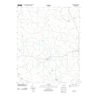
2010 Map of Lawndale
USGS Topo · Published 2010About this map
The First Broad River meanders southward through the heart of this Cleveland County landscape, anchoring a network of small Piedmont communities. The town of Lawndale sits at a central crossroads, surrounded by rural reaches like Belwood to the north and Double Shoals to the south. The area's agricultural and family heritage is evident in the numerous burial grounds marking the hillsides, including Warlick Cemetery, Eaker Cemetery, and Mooney Cemetery.
Find a feature on this map
99 named features on this map. Tap any name to fly to it.
Don’t see what you’re looking for? This feature index may not catch every label — zoom into the map to look around manually.
Map Details
Editions of this 2010 Lawndale Map
This is the sole edition of this map. No revisions or reprints were ever made.
Other maps of this area

1895 · Hickory
USGS Topo · 1:125,000

1905 · Morganton
USGS Topo · 1:125,000

1909 · Lincolnton
USGS Topo · 1:62,500

1911 · Lincolnton
USGS Topo · 1:62,500

1950 · Shelby
USGS Topo · 1:62,500

1953 · Charlotte
USGS Topo · 1:250,000

1954 · Charlotte
USGS Topo · 1:250,000

1956 · Benn Knob
USGS Topo · 1:24,000

1956 · Casar
USGS Topo · 1:24,000

1960 · Charlotte
USGS Topo · 1:250,000