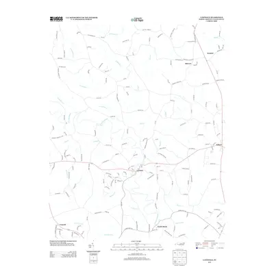
2013 Map of Lawndale
USGS Topo · Published 2013About this map
The First Broad River carves a winding path through this portion of Cleveland County, defining the local topography and historical settlement patterns of the Piedmont. Centered on Lawndale, the map reveals a landscape where rural crossroads like Belwood and Fallston serve as anchors for a dense network of country roads and family-named routes. The river's influence is most evident at Double Shoals, where the water power once drove the local economy. Beyond the main river, the land is dissected by numerous tributaries, including Big Harris Cr, Crooked Run Cr, and Little Knob Cr, each creating small valleys that have shaped agricultural boundaries for generations. This 2013 survey provides a contemporary view of these established communities, illustrating how modern road names like Oakgrove Cloverhill Ch Rd and Union Church Rd preserve the memory of local landmarks and social centers in a region deeply rooted in its geography.
Find a feature on this map
153 named features on this map. Tap any name to fly to it.
Don’t see what you’re looking for? This feature index may not catch every label — zoom into the map to look around manually.
Map Details
Editions of this 2013 Lawndale Map
This is the sole edition of this map. No revisions or reprints were ever made.
Other maps of this area

1895 · Hickory
USGS Topo · 1:125,000

1905 · Morganton
USGS Topo · 1:125,000

1909 · Lincolnton
USGS Topo · 1:62,500

1911 · Lincolnton
USGS Topo · 1:62,500

1950 · Shelby
USGS Topo · 1:62,500

1953 · Charlotte
USGS Topo · 1:250,000

1954 · Charlotte
USGS Topo · 1:250,000

1956 · Benn Knob
USGS Topo · 1:24,000

1956 · Casar
USGS Topo · 1:24,000

1960 · Charlotte
USGS Topo · 1:250,000