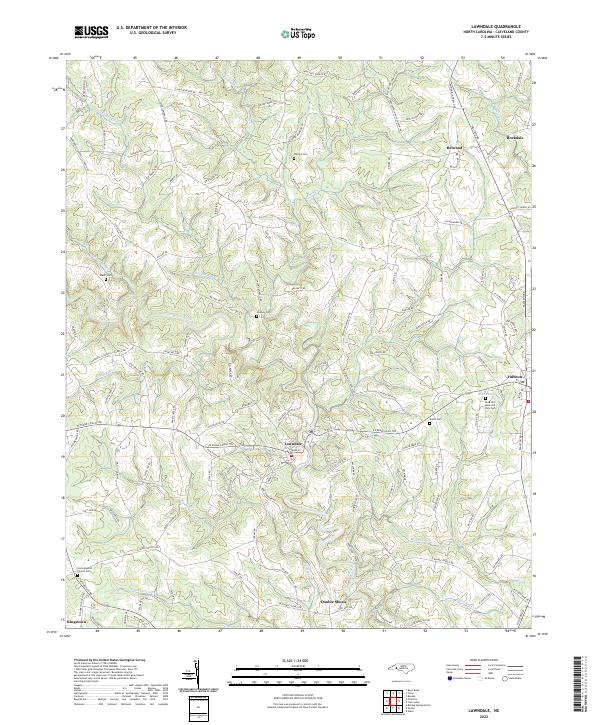
2022 Map of Lawndale
USGS Topo · Published 2022About this map
Lawndale sits at the heart of this North Carolina landscape, where the First Broad River winds through a network of rural communities and family-named homesteads. The terrain is defined by its watercourses, from the larger Big Harris Cr and Buffalo Cr to smaller tributaries like Stoney Run Cr and Grassy Br. This contemporary survey highlights a region deeply rooted in its local history, evidenced by the numerous family and community burial grounds including Warlick Cem, Mooney Cem, and Salem Cem.
Find a feature on this map
135 named features on this map. Tap any name to fly to it.
Don’t see what you’re looking for? This feature index may not catch every label — zoom into the map to look around manually.
Map Details
Editions of this 2022 Lawndale Map
This is the sole edition of this map. No revisions or reprints were ever made.
Other maps of this area

1895 · Hickory
USGS Topo · 1:125,000

1905 · Morganton
USGS Topo · 1:125,000

1909 · Lincolnton
USGS Topo · 1:62,500

1911 · Lincolnton
USGS Topo · 1:62,500

1950 · Shelby
USGS Topo · 1:62,500

1953 · Charlotte
USGS Topo · 1:250,000

1954 · Charlotte
USGS Topo · 1:250,000

1956 · Benn Knob
USGS Topo · 1:24,000

1956 · Casar
USGS Topo · 1:24,000

1960 · Charlotte
USGS Topo · 1:250,000