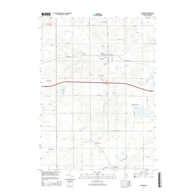
2014 Map of Lawrence
USGS Topo · Published 2014About this map
The Paw Paw River meanders across this portion of Van Buren County, anchoring a landscape defined by its numerous glacial lakes and agricultural grid. The village of Lawrence serves as the central hub, situated along the historic route of Red Arrow Hwy and W Saint Joseph St. This area preserves significant genealogical landmarks, including the centrally located Lawrence Village Cem and the more remote Hill Cem to the northwest.
Find a feature on this map
53 named features on this map. Tap any name to fly to it.
Don’t see what you’re looking for? This feature index may not catch every label — zoom into the map to look around manually.
Map Details
Editions of this 2014 Lawrence Map
This is the sole edition of this map. No revisions or reprints were ever made.
Other maps of this area

1927 · Hartford
USGS Topo · 1:62,500

1927 · Bangor
USGS Topo · 1:62,500

1931 · Bangor
USGS Topo · 1:62,500

1931 · Hartford
USGS Topo · 1:62,500

1943 · Bangor
USGS Topo · 1:62,500

1944 · Marcellus
USGS Topo · 1:62,500

1946 · Marcellus
USGS Topo · 1:62,500

1946 · Gobles
USGS Topo · 1:62,500

1948 · Gobles
USGS Topo · 1:62,500

1949 · Gobles
USGS Topo · 1:62,500