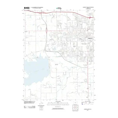
2009 Map of Lawrence West
USGS Topo · Published 2009About this map
The western edge of Lawrence and the sprawling waters of Clinton Lake define this 2009 landscape, showing a period of significant suburban and recreational development. The map details the expansive University of Kansas Lawrence Campus and its surrounding residential infrastructure, including specialized landmarks like the Jayhawk Post Office. While modern growth is evident in the numerous golf courses such as Alvamar Orchards Golf Course and Eagle Bend Golf Course, older landmarks remain, including the Richland Cemetery and the high ground of Shank Hill. The hydraulic network is dominated by the Wakarusa River and its tributaries like Yankee Tank Creek and Washington Creek, illustrating the intersection of natural drainage and modern civil engineering near the Clinton Marina.
Find a feature on this map
159 named features on this map. Tap any name to fly to it.
Don’t see what you’re looking for? This feature index may not catch every label — zoom into the map to look around manually.
Map Details
Editions of this 2009 Lawrence West Map
This is the sole edition of this map. No revisions or reprints were ever made.
Other maps of this area

1885 · Lawrence
USGS Topo · 1:125,000

1886 · Oskaloosa
USGS Topo · 1:125,000

1888 · Oskaloosa
USGS Topo · 1:125,000

1889 · Lawrence
USGS Topo · 1:125,000

1894 · Oskaloosa
USGS Topo · 1:125,000

1947 · Lawrence
USGS Topo · 1:250,000

1949 · Williamstown
USGS Topo · 1:24,000

1949 · Perry
USGS Topo · 1:24,000

1950 · Perry
USGS Topo · 1:24,000

1950 · Kansas City
USGS Topo · 1:250,000