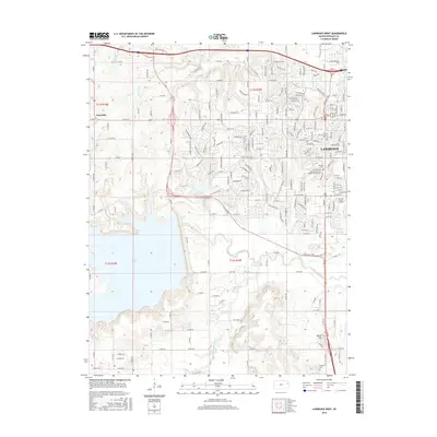
2015 Map of Lawrence West
USGS Topo · Published 2015About this map
University of Kansas Lawrence anchors the eastern edge of this landscape, where the sprawling campus meets the residential expansion of western Lawrence. This terrain is defined by the significant footprint of Clinton Lake, a major reservoir that has reshaped the local geography south of Kanwaka. The transition from the dense urban grid of the university area to the managed shoreline of the lake illustrates the modern development of Douglas County, where recreation and education infrastructure dominate the land use.
Find a feature on this map
191 named features on this map. Tap any name to fly to it.
Don’t see what you’re looking for? This feature index may not catch every label — zoom into the map to look around manually.
Map Details
Editions of this 2015 Lawrence West Map
This is the sole edition of this map. No revisions or reprints were ever made.
Other maps of this area

1885 · Lawrence
USGS Topo · 1:125,000

1886 · Oskaloosa
USGS Topo · 1:125,000

1888 · Oskaloosa
USGS Topo · 1:125,000

1889 · Lawrence
USGS Topo · 1:125,000

1894 · Oskaloosa
USGS Topo · 1:125,000

1947 · Lawrence
USGS Topo · 1:250,000

1949 · Williamstown
USGS Topo · 1:24,000

1949 · Perry
USGS Topo · 1:24,000

1950 · Perry
USGS Topo · 1:24,000

1950 · Kansas City
USGS Topo · 1:250,000