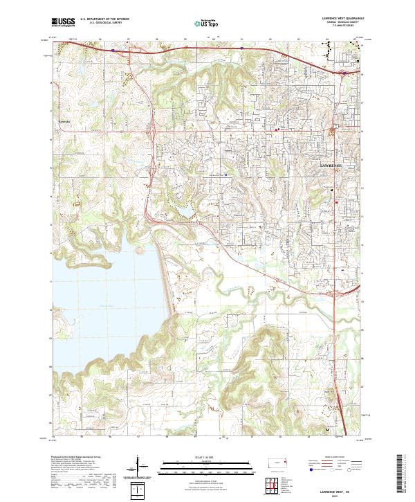
2022 Map of Lawrence West
USGS Topo · Published 2022About this map
Clinton Lake dominates the western portion of this landscape, its expansive waters meeting the winding course of the Wakarusa River to the south. This modern survey illustrates the suburban expansion of western Lawrence into the Kansas countryside, where established family names and local history are preserved in several memorial sites. Genealogists may find interest in the Pioneer Cem or the Henry T Davis Cem, alongside the Adams School District 497 Cem in the northeast.
Find a feature on this map
199 named features on this map. Tap any name to fly to it.
Don’t see what you’re looking for? This feature index may not catch every label — zoom into the map to look around manually.
Map Details
Editions of this 2022 Lawrence West Map
This is the sole edition of this map. No revisions or reprints were ever made.
Other maps of this area

1885 · Lawrence
USGS Topo · 1:125,000

1886 · Oskaloosa
USGS Topo · 1:125,000

1888 · Oskaloosa
USGS Topo · 1:125,000

1889 · Lawrence
USGS Topo · 1:125,000

1894 · Oskaloosa
USGS Topo · 1:125,000

1947 · Lawrence
USGS Topo · 1:250,000

1949 · Williamstown
USGS Topo · 1:24,000

1949 · Perry
USGS Topo · 1:24,000

1950 · Perry
USGS Topo · 1:24,000

1950 · Kansas City
USGS Topo · 1:250,000