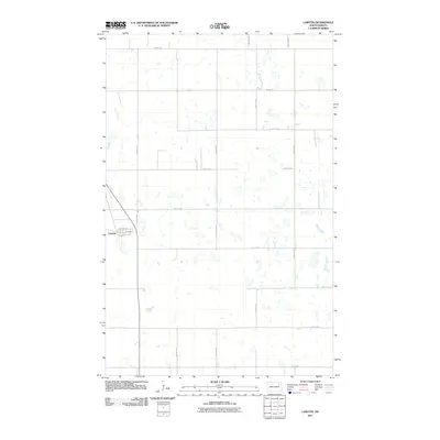
2011 Map of Lawton
USGS Topo · Published 2011About this map
Lawton serves as the primary hub of this Ramsey County landscape, characterized by its grid-based layout and small-town North Dakota character. The town center is defined by Main St, Pierce St, and Charman St, anchoring the community against the surrounding agricultural expanses. This area exhibits a distinct prairie pothole geography, with dozens of small, unnamed wetlands and depressions dotting the sections between established section lines.
Find a feature on this map
19 named features on this map. Tap any name to fly to it.
Don’t see what you’re looking for? This feature index may not catch every label — zoom into the map to look around manually.
Map Details
Editions of this 2011 Lawton Map
This is the sole edition of this map. No revisions or reprints were ever made.
Other maps of this area

1953 · Devils Lake
USGS Topo · 1:250,000

1956 · Devils Lake
USGS Topo · 1:250,000

1971 · Brocket
USGS Topo · 1:24,000

1971 · Pelto
USGS Topo · 1:24,000

1971 · Lakota NW
USGS Topo · 1:24,000

1972 · Edmore SW
USGS Topo · 1:24,000

1972 · Edmore
USGS Topo · 1:24,000

1972 · Adams SW
USGS Topo · 1:24,000

1972 · Fairdale
USGS Topo · 1:24,000

1972 · Edmore NE
USGS Topo · 1:24,000