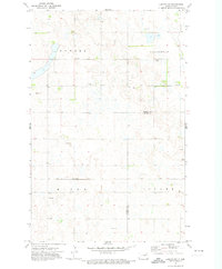
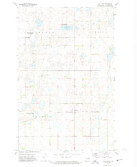
1971 Map of Lakota NW
USGS Topo · Published 1974About this map
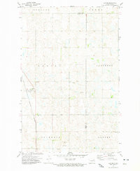
Newbre, Lillehoff, and Clara townships define this agricultural landscape on the border of Ramsey and Nelson Counties during the early 1970s. This survey records a post-war rural environment shaped by the Soo Line railroad, which cuts through the southern portion of the quadrangle. The land is marked by numerous small depressions and sloughs characteristic of the region's glacial topography, with specialized land use evident in the various Gravel Pits scattered across the townships. For those tracing local history or family roots, the presence of Hope Cem in Nixon township provides a specific point of interest in an area otherwise dominated by section lines and farmsteads. The map illustrates a stable, low-density settlement pattern where the township boundaries and the railroad corridor remained the primary organizing features of the county's northern reaches.
Find a feature on this map
8 named features on this map. Tap any name to fly to it.
Don’t see what you’re looking for? This feature index may not catch every label — zoom into the map to look around manually.
Map Details
Editions of this 1971 Lakota NW Map
This is the sole edition of this map. No revisions or reprints were ever made.
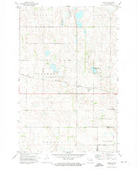
Other maps of this area

1953 · Devils Lake
USGS Topo · 1:250,000

1956 · Devils Lake
USGS Topo · 1:250,000
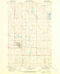
1970 · Lakota
USGS Topo · 1:24,000
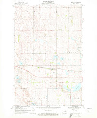
1970 · Bartlett
USGS Topo · 1:24,000
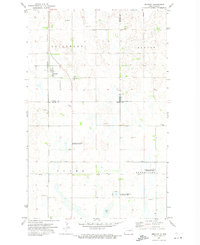
1971 · Brocket
USGS Topo · 1:24,000
1971 · Southam
USGS Topo · 1:24,000
1971 · Doyon
USGS Topo · 1:24,000
1972 · Derrick SE
USGS Topo · 1:24,000
1972 · Edmore SW
USGS Topo · 1:24,000
1972 · Lawton
USGS Topo · 1:24,000