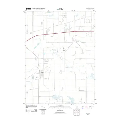
2011 Map of Lawton
USGS Topo · Published 2011About this map
The village of Lawton and the nearby community of Mattawan anchor this southern Michigan landscape during a period of modern agricultural and residential continuity. The terrain is defined by the winding course of the East Branch Paw Paw River and a dense network of glacial lakes, including Bankson Lake, Huzzy Lake, and Paw Paw Lake to the east. For genealogists and local historians, the sheet preserves the locations of several community burial grounds such as Bangs Cemetery, Harwick Cemetery, and Chamberlin Cemetery. The transportation corridor is dominated by the Red Arrow Hwy and the interstate, while more localized features like the Mattawan Airpark and Kerby Field reflect the area's mid-century development. Drainage systems like the Lawton Drain and Gates Extension Drain highlight the managed hydrology necessary for the region's prominent vineyards and orchards.
Find a feature on this map
104 named features on this map. Tap any name to fly to it.
Don’t see what you’re looking for? This feature index may not catch every label — zoom into the map to look around manually.
Map Details
Editions of this 2011 Lawton Map
This is the sole edition of this map. No revisions or reprints were ever made.
Other maps of this area

1916 · Kalamazoo
USGS Topo · 1:62,500

1918 · Kalamazoo
USGS Topo · 1:62,500

1922 · Schoolcraft
USGS Topo · 1:62,500

1943 · Kalamazoo
USGS Topo · 1:62,500

1943 · Schoolcraft
USGS Topo · 1:62,500

1944 · Marcellus
USGS Topo · 1:62,500

1946 · Marcellus
USGS Topo · 1:62,500

1946 · Gobles
USGS Topo · 1:62,500

1948 · Gobles
USGS Topo · 1:62,500

1949 · Gobles
USGS Topo · 1:62,500