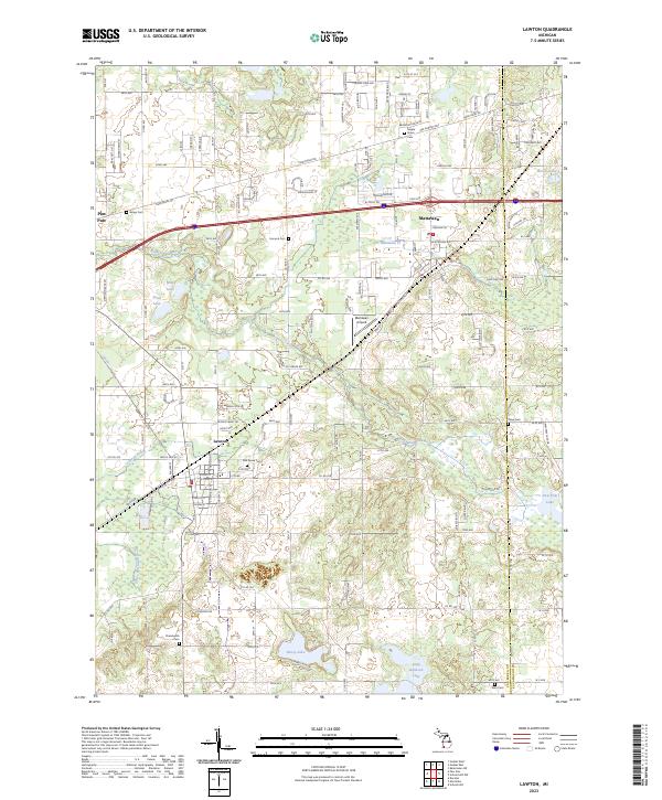
2023 Map of Lawton
USGS Topo · Published 2023About this map
Lawton and Mattawan serve as the primary hubs in this Van Buren County landscape, defined by a complex network of waterways including the E Branch Paw Paw River and its various drainage extensions. The geography is notably dotted with small lakes such as Huzzy Lake and Little Bankson Lake to the south, while Sand Lake and Mud Lake dominate the western portion of the quadrangle. For genealogists, the map is remarkably dense with burial sites, showing numerous historic grounds like Maple Grove Cem, Chamberlin Cem, and Bangs Cem distributed across the townships. The transition from industrial transport to aviation is evident in the presence of the Mattawan Airpark and the modern highway corridor of the Red Arrow Hwy, which parallels older survey boundaries like Territorial Rd.
Find a feature on this map
151 named features on this map. Tap any name to fly to it.
Don’t see what you’re looking for? This feature index may not catch every label — zoom into the map to look around manually.
Map Details
Editions of this 2023 Lawton Map
This is the sole edition of this map. No revisions or reprints were ever made.
Other maps of this area

1916 · Kalamazoo
USGS Topo · 1:62,500

1918 · Kalamazoo
USGS Topo · 1:62,500

1922 · Schoolcraft
USGS Topo · 1:62,500

1943 · Kalamazoo
USGS Topo · 1:62,500

1943 · Schoolcraft
USGS Topo · 1:62,500

1944 · Marcellus
USGS Topo · 1:62,500

1946 · Marcellus
USGS Topo · 1:62,500

1946 · Gobles
USGS Topo · 1:62,500

1948 · Gobles
USGS Topo · 1:62,500

1949 · Gobles
USGS Topo · 1:62,500