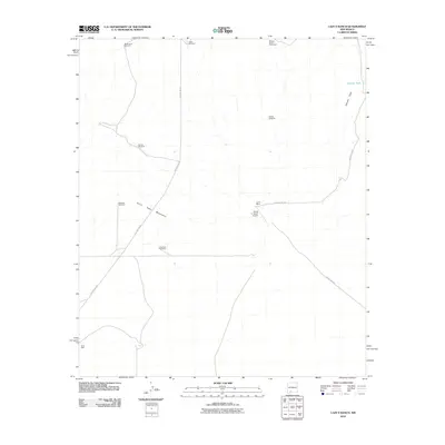
2010 Map of Lazy E Ranch
USGS Topo · Published 2010About this map
The Good Sight Mountains anchor the southwestern portion of this New Mexico landscape, giving way to the broad expanse of Apache Flats in the northeast. This 2010 survey documents a high-desert ranching environment where water sources are the primary landmarks, evidenced by a network of scattered infrastructure including Matamoros Windmill, Suman Windmill, and Sand Well.
Find a feature on this map
15 named features on this map. Tap any name to fly to it.
Don’t see what you’re looking for? This feature index may not catch every label — zoom into the map to look around manually.
Map Details
Editions of this 2010 Lazy E Ranch Map
This is the sole edition of this map. No revisions or reprints were ever made.
Other maps of this area

1941 · Aden
USGS Topo · 1:62,500

1943 · Aden
USGS Topo · 1:62,500

1943 · Corralitos Ranch
USGS Topo · 1:62,500

1955 · Las Cruces
USGS Topo · 1:250,000

1958 · Las Cruces
USGS Topo · 1:250,000

1972 · Myndus
USGS Topo · 1:24,000

1972 · Cambray
USGS Topo · 1:24,000

1972 · Good Sight Peak NE
USGS Topo · 1:24,000

1972 · Good Sight Peak
USGS Topo · 1:24,000

1972 · Lazy E Ranch
USGS Topo · 1:24,000