
1972 Map of Cambray
USGS Topo · Published 1975About this map
Cambray sits at the center of this 1970s desert landscape, serving as a primary point along the Southern Pacific railroad corridor. The area marks a significant boundary where Luna Co meets Doña Ana Co, characterized by a transition from industrial and transit infrastructure to the open basin. Transportation dominates the northern portion of the quadrangle, with the railroad running parallel to major routes like 70 80 180 and 549.
Find a feature on this map
14 named features on this map. Tap any name to fly to it.
Don’t see what you’re looking for? This feature index may not catch every label — zoom into the map to look around manually.
Map Details
Editions of this 1972 Cambray Map
This is the sole edition of this map. No revisions or reprints were ever made.
Other maps of this area

1941 · Aden
USGS Topo · 1:62,500

1943 · Aden
USGS Topo · 1:62,500

1943 · Corralitos Ranch
USGS Topo · 1:62,500

1955 · Las Cruces
USGS Topo · 1:250,000

1958 · Las Cruces
USGS Topo · 1:250,000

1972 · Myndus
USGS Topo · 1:24,000
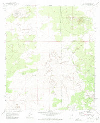
1972 · X-7 Ranch
USGS Topo · 1:24,000

1972 · Lazy E Ranch
USGS Topo · 1:24,000
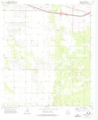
1972 · Akela
USGS Topo · 1:24,000
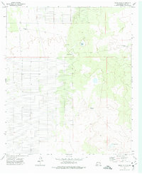
1972 · Sibley Hole
USGS Topo · 1:24,000