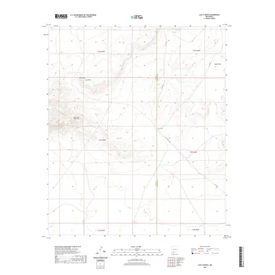
2020 Map of Lazy E Ranch
USGS Topo · Published 2020About this map
The Good Sight Mountains dominate the western landscape of this high desert region, where the terrain shifts into the broad Uvas Valley to the north. This 2020 survey documents a transition zone between the peaks and the flatter expanses of Apache Flats in the northeast. The map is defined by its ranching history and remote infrastructure, centered on the Lazy E Ranch and supported by critical water sources like Apache Tank.
Find a feature on this map
14 named features on this map. Tap any name to fly to it.
Don’t see what you’re looking for? This feature index may not catch every label — zoom into the map to look around manually.
Map Details
Editions of this 2020 Lazy E Ranch Map
This is the sole edition of this map. No revisions or reprints were ever made.
Other maps of this area

1941 · Aden
USGS Topo · 1:62,500

1943 · Aden
USGS Topo · 1:62,500

1943 · Corralitos Ranch
USGS Topo · 1:62,500

1955 · Las Cruces
USGS Topo · 1:250,000

1958 · Las Cruces
USGS Topo · 1:250,000

1972 · Myndus
USGS Topo · 1:24,000

1972 · Cambray
USGS Topo · 1:24,000

1972 · Good Sight Peak NE
USGS Topo · 1:24,000

1972 · Good Sight Peak
USGS Topo · 1:24,000

1972 · Lazy E Ranch
USGS Topo · 1:24,000