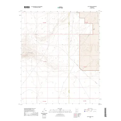
2023 Map of Lazy E Ranch
USGS Topo · Published 2023About this map
The Good Sight Mountains dominate the western portion of this high-desert quadrangle, straddling the border between Luna and Doña Ana counties. This landscape is defined by its arid basins and volcanic slopes, where the terrain transitions from the elevations of the mountains down into the Uvas Valley and the broad expanse of Apache Flats. Isolated water sources are critical in this environment, represented here by Apache Tank in the northeastern corner. The area is largely defined by large-scale ranching and land management, with much of the infrastructure limited to remote routes like Co Rd C001 that navigate the sections and townships of the public land survey system.
Find a feature on this map
12 named features on this map. Tap any name to fly to it.
Don’t see what you’re looking for? This feature index may not catch every label — zoom into the map to look around manually.
Map Details
Editions of this 2023 Lazy E Ranch Map
This is the sole edition of this map. No revisions or reprints were ever made.
Other maps of this area

1941 · Aden
USGS Topo · 1:62,500

1943 · Aden
USGS Topo · 1:62,500

1943 · Corralitos Ranch
USGS Topo · 1:62,500

1955 · Las Cruces
USGS Topo · 1:250,000

1958 · Las Cruces
USGS Topo · 1:250,000

1972 · Myndus
USGS Topo · 1:24,000

1972 · Cambray
USGS Topo · 1:24,000

1972 · Good Sight Peak NE
USGS Topo · 1:24,000

1972 · Good Sight Peak
USGS Topo · 1:24,000

1972 · Lazy E Ranch
USGS Topo · 1:24,000