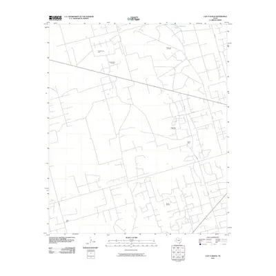
2010 Map of Lazy X Ranch
USGS Topo · Published 2010About this map
The Lazy X Ranch anchors this portion of Andrews County, illustrating the modern intersection of Texas ranching and the petroleum industry. As of 2010, the landscape is defined by an extensive grid of local roads, such as SW 600 and SW 3001, which provide access to significant energy extraction sites. The map documents several active zones including the Shafter Lake Oil Field, Deep Rock Oil Field, and the Mascho Oil Field, highlighting the region's continued importance to the Permian Basin's output.
Find a feature on this map
14 named features on this map. Tap any name to fly to it.
Don’t see what you’re looking for? This feature index may not catch every label — zoom into the map to look around manually.
Map Details
Editions of this 2010 Lazy X Ranch Map
This is the sole edition of this map. No revisions or reprints were ever made.
Other maps of this area

1954 · Hobbs
USGS Topo · 1:250,000

1958 · Hobbs
USGS Topo · 1:250,000

1963 · Andrews
USGS Topo · 1:24,000

1968 · North Cowden NW
USGS Topo · 1:24,000

1968 · Clabber Hill Ranch
USGS Topo · 1:24,000

1971 · Florey
USGS Topo · 1:24,000

1971 · Frankel City
USGS Topo · 1:24,000

1971 · Whalen Lake
USGS Topo · 1:24,000

1971 · Sand Ranch
USGS Topo · 1:24,000

1971 · Shafter Lake
USGS Topo · 1:24,000