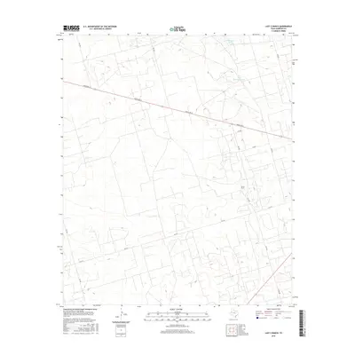
2016 Map of Lazy X Ranch
USGS Topo · Published 2016About this map
Lazy X Ranch serves as the namesake landmark for this segment of the West Texas landscape in Andrews County. The terrain is defined by its ranching infrastructure, characterized by isolated water sources such as N Hackberry Tank and Little Hackberry Tank which are essential for livestock in this arid environment. The map reveals a structured grid of rural transit, where primary routes like Ranch Rd 87 and FM 2371 intersect with a network of local roads including Davis Rd and Co Rd 3001. This 2016 survey illustrates the modern layout of large-scale landholdings, showing how fence lines and access roads have been organized around traditional ranching hubs and water tanks to manage the open country.
Find a feature on this map
13 named features on this map. Tap any name to fly to it.
Don’t see what you’re looking for? This feature index may not catch every label — zoom into the map to look around manually.
Map Details
Editions of this 2016 Lazy X Ranch Map
This is the sole edition of this map. No revisions or reprints were ever made.
Other maps of this area

1954 · Hobbs
USGS Topo · 1:250,000

1958 · Hobbs
USGS Topo · 1:250,000

1963 · Andrews
USGS Topo · 1:24,000

1968 · North Cowden NW
USGS Topo · 1:24,000

1968 · Clabber Hill Ranch
USGS Topo · 1:24,000

1971 · Florey
USGS Topo · 1:24,000

1971 · Frankel City
USGS Topo · 1:24,000

1971 · Whalen Lake
USGS Topo · 1:24,000

1971 · Sand Ranch
USGS Topo · 1:24,000

1971 · Shafter Lake
USGS Topo · 1:24,000