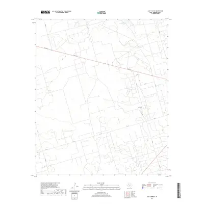
2019 Map of Lazy X Ranch
USGS Topo · Published 2019About this map
The Lazy X Ranch defines this corner of the Permian Basin, where the sparse West Texas landscape is marked by the essential infrastructure of ranching and transit. Water management is a central theme in this arid environment, evidenced by scattered catchments like North Hackberry Tank and Little Hackberry Tank. These features represent critical points of survival for livestock and landmarks for those navigating the high plains.
Find a feature on this map
13 named features on this map. Tap any name to fly to it.
Don’t see what you’re looking for? This feature index may not catch every label — zoom into the map to look around manually.
Map Details
Editions of this 2019 Lazy X Ranch Map
This is the sole edition of this map. No revisions or reprints were ever made.
Other maps of this area

1954 · Hobbs
USGS Topo · 1:250,000

1958 · Hobbs
USGS Topo · 1:250,000

1963 · Andrews
USGS Topo · 1:24,000

1968 · North Cowden NW
USGS Topo · 1:24,000

1968 · Clabber Hill Ranch
USGS Topo · 1:24,000

1971 · Florey
USGS Topo · 1:24,000

1971 · Frankel City
USGS Topo · 1:24,000

1971 · Whalen Lake
USGS Topo · 1:24,000

1971 · Sand Ranch
USGS Topo · 1:24,000

1971 · Shafter Lake
USGS Topo · 1:24,000