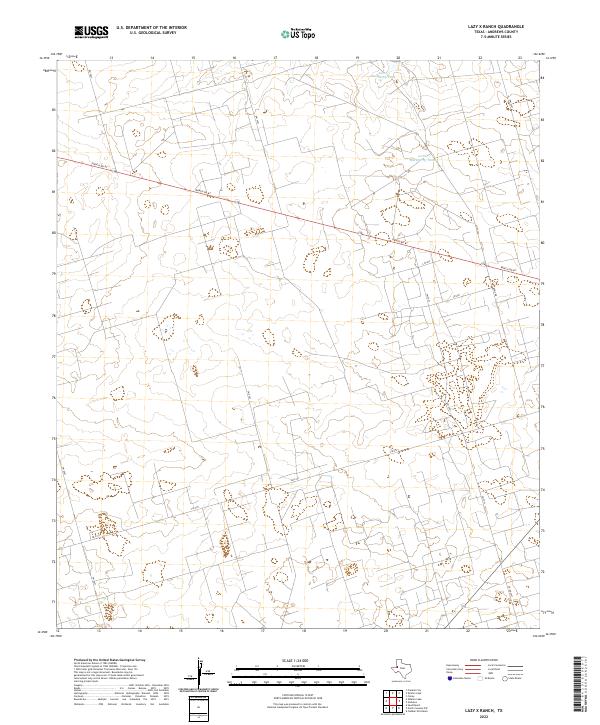
2022 Map of Lazy X Ranch
USGS Topo · Published 2022About this map
The West Texas landscape of Andrews County is defined here by sparse water resources and a grid of rural ranch roads. North Hackberry Tank and Little Hackberry Tank provide essential watering points for livestock in an area characterized by subtle topographic shifts. The primary east-west artery, Ranch Rd 87, cuts diagonally across the northern half of the quadrangle, serving as a connector for the surrounding ranchlands. Local access is facilitated by a network of secondary routes including Davis Rd and FM 2371. This layout reflects the modern management of wide-open grazing land, where named tanks and numbered ranch roads form the critical landmarks for navigation and land use.
Find a feature on this map
12 named features on this map. Tap any name to fly to it.
Don’t see what you’re looking for? This feature index may not catch every label — zoom into the map to look around manually.
Map Details
Editions of this 2022 Lazy X Ranch Map
This is the sole edition of this map. No revisions or reprints were ever made.
Other maps of this area

1954 · Hobbs
USGS Topo · 1:250,000

1958 · Hobbs
USGS Topo · 1:250,000

1963 · Andrews
USGS Topo · 1:24,000

1968 · North Cowden NW
USGS Topo · 1:24,000

1968 · Clabber Hill Ranch
USGS Topo · 1:24,000

1971 · Florey
USGS Topo · 1:24,000

1971 · Frankel City
USGS Topo · 1:24,000

1971 · Whalen Lake
USGS Topo · 1:24,000

1971 · Sand Ranch
USGS Topo · 1:24,000

1971 · Shafter Lake
USGS Topo · 1:24,000