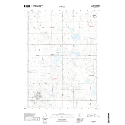
2019 Map of Le Center
USGS Topo · Published 2019About this map
Le Center serves as the seat of government for Le Sueur County, anchoring a landscape defined by glacial lakes and an intricate system of drainage channels. The town layout is characterized by a formal grid of streets including W Minnesota St and E Sharon St, situated just south of the winding Le Sueur Cr. This area preserves several historical burial sites that serve as records of the region's early Catholic and pioneer heritage, such as Saint Scholastica Cem in the north and Saint Marys Cem near the town center.
Find a feature on this map
72 named features on this map. Tap any name to fly to it.
Don’t see what you’re looking for? This feature index may not catch every label — zoom into the map to look around manually.
Map Details
Editions of this 2019 Le Center Map
This is the sole edition of this map. No revisions or reprints were ever made.
Other maps of this area

1953 · Saint Paul
USGS Topo · 1:250,000

1957 · Belle Plaine
USGS Topo · 1:62,500

1957 · New Prague
USGS Topo · 1:62,500

1959 · Saint Paul
USGS Topo · 1:250,000

1965 · Cleveland
USGS Topo · 1:24,000

1965 · St Thomas
USGS Topo · 1:24,000

1966 · Montgomery
USGS Topo · 1:24,000

1966 · Cordova
USGS Topo · 1:24,000

1966 · Le Center
USGS Topo · 1:24,000
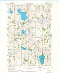
1966 · Kilkenny
USGS Topo · 1:24,000