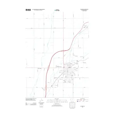
2013 Map of Le Mars
USGS Topo · Published 2013About this map
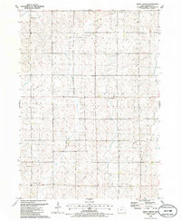
Le Mars serves as the central hub of this Plymouth County landscape, where the confluence of the Floyd River and Willow Creek shapes the local geography. The city’s modern footprint is well-defined by its grid, extending from the historic core to residential areas like Parkview Terrace and the outlying West Le Mars. Important civic and recreational sites are clustered on the eastern side of town, including the Plymouth County Fairgrounds and the Le Mars Municipal Golf Course.
Find a feature on this map
96 named features on this map. Tap any name to fly to it.
Don’t see what you’re looking for? This feature index may not catch every label — zoom into the map to look around manually.
Map Details
Editions of this 2013 Le Mars Map
This is the sole edition of this map. No revisions or reprints were ever made.
Other maps of this area

1955 · Sioux City
USGS Topo · 1:250,000

1958 · Sioux City
USGS Topo · 1:250,000

1959 · Sioux City
USGS Topo · 1:250,000

1962 · Le Mars
USGS Topo · 1:62,500

1962 · Union Center
USGS Topo · 1:62,500

1964 · Hinton
USGS Topo · 1:24,000
1969 · Ireton
USGS Topo · 1:24,000
1969 · Brunsville
USGS Topo · 1:24,000
1985 · Alton
USGS Topo · 1:24,000
1985 · Union Center
USGS Topo · 1:24,000