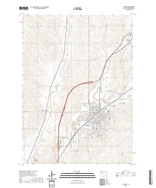
2022 Map of Le Mars
USGS Topo · Published 2022About this map
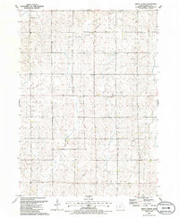
The Plymouth County Courthouse stands as the central landmark of Le Mars, where the town’s grid spreads across the low hills between the Floyd River and its western branch. This early 21st-century landscape shows a community shaped by both agricultural tradition and modern infrastructure, from the industrial corridors near the Le Mars Municipal Airport to the recreational development along the Le Mars Recreational Trl. To the north, the small settlement of Seney remains clustered near the Seney Cem, while the surrounding section lines are marked by family-named roads and significant regional routes like Co Rd C16. The terrain is punctuated by several major local burial grounds, including Calvary Cem and Memorial Cem, providing valuable geographic points of reference for genealogists tracing families in this part of Plymouth County.
Find a feature on this map
53 named features on this map. Tap any name to fly to it.
Don’t see what you’re looking for? This feature index may not catch every label — zoom into the map to look around manually.
Map Details
Editions of this 2022 Le Mars Map
This is the sole edition of this map. No revisions or reprints were ever made.
Other maps of this area

1955 · Sioux City
USGS Topo · 1:250,000

1958 · Sioux City
USGS Topo · 1:250,000

1959 · Sioux City
USGS Topo · 1:250,000

1962 · Le Mars
USGS Topo · 1:62,500

1962 · Union Center
USGS Topo · 1:62,500

1964 · Hinton
USGS Topo · 1:24,000
1969 · Ireton
USGS Topo · 1:24,000
1969 · Brunsville
USGS Topo · 1:24,000
1985 · Alton
USGS Topo · 1:24,000
1985 · Union Center
USGS Topo · 1:24,000