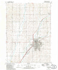
1985 Map of Le Mars
USGS Topo · Published 1986About this map
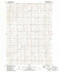
The Floyd River and its West Branch converge near the heart of the Ice Cream Capital of the World in this mid-1980s look at Plymouth County. The city of Le Mars serves as a major regional crossroads, where the Chicago and North Western and Illinois Central Gulf railroads intersect. Local civic and educational life is centered around Westmar College and the Museum, while the outlying landscape retains its agrarian character with the Good Samaritan County Home and the small settlement of Seney to the northeast. Beyond the urban grid, the map records the recreational and utility infrastructure of the era, from the Drive-in Theater and Golf Course to the Municipal Airport and numerous local parks like Cleveland Park and Riverview Park. The terrain is shaped by the winding paths of Willow Creek and the river valley, which historically dictated the placement of rail lines and industrial sites such as the Gravel Pit.
Find a feature on this map
43 named features on this map. Tap any name to fly to it.
Don’t see what you’re looking for? This feature index may not catch every label — zoom into the map to look around manually.
Map Details
Editions of this 1985 Le Mars Map
This is the sole edition of this map. No revisions or reprints were ever made.
Other maps of this area

1955 · Sioux City
USGS Topo · 1:250,000

1958 · Sioux City
USGS Topo · 1:250,000

1959 · Sioux City
USGS Topo · 1:250,000

1962 · Le Mars
USGS Topo · 1:62,500

1962 · Union Center
USGS Topo · 1:62,500

1964 · Hinton
USGS Topo · 1:24,000
1969 · Ireton
USGS Topo · 1:24,000
1969 · Brunsville
USGS Topo · 1:24,000
1985 · Alton
USGS Topo · 1:24,000
1985 · Union Center
USGS Topo · 1:24,000