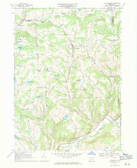
1967 Map of Le Raysville
USGS Topo · Published 1971About this map
Le Raysville serves as the central hub for this corner of Bradford and Susquehanna counties, surrounded by a landscape of high ridges and deep creek hollows. The rural character of the late 1960s is preserved through the density of family-named corners and landmarks, such as Stone House Corner, Conklin Corners, and Chaffee Corners. Educational and spiritual centers like the Northeast Bradford High Sch and St Matthews Ch anchor the dispersed communities of East Herrick and Stevensville.
Find a feature on this map
48 named features on this map. Tap any name to fly to it.
Don’t see what you’re looking for? This feature index may not catch every label — zoom into the map to look around manually.
Map Details
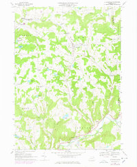
Editions of this 1967 Le Raysville Map
2 editions found
Other maps of this area

1923 · Towanda
USGS Topo · 1:62,500

1926 · Towanda
USGS Topo · 1:62,500

1943 · Towanda
USGS Topo · 1:62,500

1943 · Monroeton
USGS Topo · 1:62,500

1943 · Le Raysville
USGS Topo · 1:62,500

1945 · Le Raysville
USGS Topo · 1:62,500

1945 · Meshoppen
USGS Topo · 1:62,500

1945 · Auburn Center
USGS Topo · 1:24,000

1945 · Laceyville
USGS Topo · 1:24,000
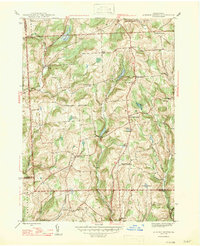
1947 · Auburn Center
USGS Topo · 1:31,680