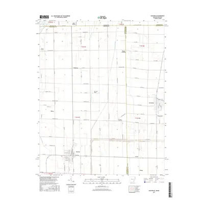
2017 Map of Leachville
USGS Topo · Published 2017About this map
Leachville and Monette serve as the primary hubs in this agricultural corner of Northeast Arkansas, situated where the state border meets the Missouri bootheel. The landscape is defined by a rigorous grid of drainage canals and section-line roads, revealing the extensive 20th-century reclamation of the St. Francis Basin. Waterways like Kinnemore Slough, Mud Slough Ditch, and Little Slough Ditch dominate the topography, facilitating the cultivation of the surrounding bottomlands.
Find a feature on this map
105 named features on this map. Tap any name to fly to it.
Don’t see what you’re looking for? This feature index may not catch every label — zoom into the map to look around manually.
Map Details
Editions of this 2017 Leachville Map
This is the sole edition of this map. No revisions or reprints were ever made.
Other maps of this area

1934 · Kennett
USGS Topo · 1:62,500

1940 · Marmaduke
USGS Topo · 1:62,500

1940 · Kennett
USGS Topo · 1:62,500

1941 · Leachville
USGS Topo · 1:62,500

1941 · Manila
USGS Topo · 1:62,500

1953 · Memphis
USGS Topo · 1:250,000

1956 · Leachville
USGS Topo · 1:62,500

1956 · Kennett
USGS Topo · 1:62,500

1956 · Manila
USGS Topo · 1:62,500

1956 · Memphis
USGS Topo · 1:250,000