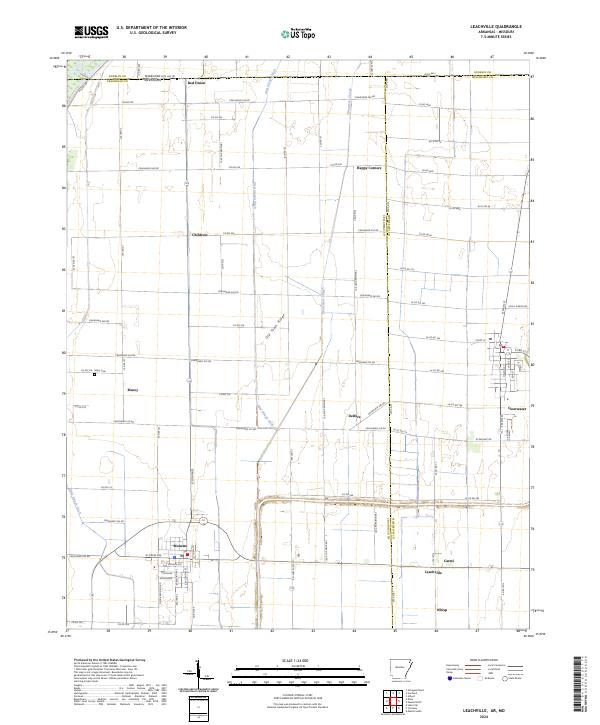
2024 Map of Leachville
USGS Topo · Published 2024About this map
Leachville and Monette anchor the southern portion of this landscape, situated within a highly managed hydraulic environment defined by the Mud Slough Ditch, Kinnemore Slough, and the Little Slough Ditch. This Mississippi Delta terrain in Northeast Arkansas is crisscrossed by an extensive network of county roads that service smaller communities like Delfore, Macey, and Childress. The straight-line precision of these roads and drainage canals reflects the intensive agricultural engineering of the region, where natural waterways have been redirected to reclaim the fertile bottomlands.
Find a feature on this map
97 named features on this map. Tap any name to fly to it.
Don’t see what you’re looking for? This feature index may not catch every label — zoom into the map to look around manually.
Map Details
Editions of this 2024 Leachville Map
This is the sole edition of this map. No revisions or reprints were ever made.
Other maps of this area

1934 · Kennett
USGS Topo · 1:62,500

1940 · Marmaduke
USGS Topo · 1:62,500

1940 · Kennett
USGS Topo · 1:62,500

1941 · Leachville
USGS Topo · 1:62,500

1941 · Manila
USGS Topo · 1:62,500

1953 · Memphis
USGS Topo · 1:250,000

1956 · Leachville
USGS Topo · 1:62,500

1956 · Kennett
USGS Topo · 1:62,500

1956 · Manila
USGS Topo · 1:62,500

1956 · Memphis
USGS Topo · 1:250,000