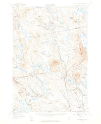
1957 Map of Lead Mountain
USGS Topo · Published 1959About this map
The interior of Washington and Hancock Counties is defined by a dense network of glacial lakes and isolated summits, captured here as the area appeared in the late 1950s. The landscape is dominated by the massive Lead Mtn, which features a Lookout Tower overlooking the surrounding water bodies. To the south and west, the terrain transitions into a complex series of ridges including Schoppe Ridge, Gould Ridge, and the distinct Sevenmile Brook Bluff. Small settlements like Beddington and Deblois represent the primary human footprints in this timber-rich region, connected by a network of unimproved roads and jeep trails.
Find a feature on this map
80 named features on this map. Tap any name to fly to it.
Don’t see what you’re looking for? This feature index may not catch every label — zoom into the map to look around manually.
Map Details
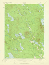
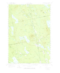
Editions of this 1957 Lead Mountain Map
3 editions found
Other maps of this area

1902 · Cherryfield
USGS Topo · 1:62,500

1904 · Cherryfield
USGS Topo · 1:62,500

1911 · Ellsworth
USGS Topo · 1:62,500

1929 · Great Pond
USGS Topo · 1:48,000

1929 · Lead Mountain
USGS Topo · 1:48,000

1930 · Tunk Lake
USGS Topo · 1:48,000

1931 · Saponac
USGS Topo · 1:48,000

1932 · Tunk Lake
USGS Topo · 1:62,500

1932 · Nicatous Lake
USGS Topo · 1:48,000

1932 · Lead Mountain
USGS Topo · 1:62,500