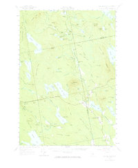
1957 Map of Lead Mountain
USGS Topo · Published 1967About this map
The Narraguagus River and its West Branch define this interior landscape of Hancock and Washington Counties, as documented in this mid-century survey. While mostly composed of unpopulated timberlands and townships like T 28 MD and T 34 MD, the map captures the isolated settlement at Dog Corners in the town of Osborn. The area is characterized by a dense network of glacial features, including the prominent summit of Lead Mtn with its Lookout Tower, and a series of ridges such as Schoppe Ridge and Middle Branch Ridge.
Find a feature on this map
113 named features on this map. Tap any name to fly to it.
Don’t see what you’re looking for? This feature index may not catch every label — zoom into the map to look around manually.
Map Details
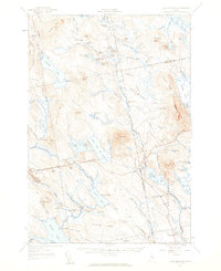
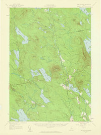
Editions of this 1957 Lead Mountain Map
3 editions found
Other maps of this area

1902 · Cherryfield
USGS Topo · 1:62,500

1904 · Cherryfield
USGS Topo · 1:62,500

1911 · Ellsworth
USGS Topo · 1:62,500

1929 · Great Pond
USGS Topo · 1:48,000

1929 · Lead Mountain
USGS Topo · 1:48,000

1930 · Tunk Lake
USGS Topo · 1:48,000

1931 · Saponac
USGS Topo · 1:48,000

1932 · Tunk Lake
USGS Topo · 1:62,500

1932 · Nicatous Lake
USGS Topo · 1:48,000

1932 · Lead Mountain
USGS Topo · 1:62,500