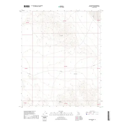
2018 Map of Lead Mountain
USGS Topo · Published 2018About this map
Lead Mtn stands as a central topographic prominence within this arid expanse of the Mojave Desert. The map captures a rugged portion of San Bernardino County where the Bullion Mountains rise in the southern reaches, defined by steep contour intervals and desert washes. Transportation through this remote terrain is centered on the historical corridor of the Bagdad Hwy and the connected Bagdad Way, which traverse the lower elevations between the mountain ranges. The landscape is largely undeveloped, shown here through the lens of the Bureau of Land Management’s Public Land Survey System, illustrating the township and range divisions that still govern this open desert territory.
Find a feature on this map
14 named features on this map. Tap any name to fly to it.
Don’t see what you’re looking for? This feature index may not catch every label — zoom into the map to look around manually.
Map Details
Editions of this 2018 Lead Mountain Map
This is the sole edition of this map. No revisions or reprints were ever made.
Other maps of this area

1942 · Amboy
USGS Topo · 1:250,000

1943 · Amboy
USGS Topo · 1:250,000

1953 · San Bernardino
USGS Topo · 1:250,000

1954 · Needles
USGS Topo · 1:250,000

1954 · Amboy Crater
USGS Topo · 1:24,000

1954 · Bagdad SW
USGS Topo · 1:24,000

1954 · Ludlow SE
USGS Topo · 1:24,000

1955 · Lead Mountain
USGS Topo · 1:24,000

1955 · Deadman Lake SE
USGS Topo · 1:24,000

1955 · Lead Mtn. NE
USGS Topo · 1:24,000