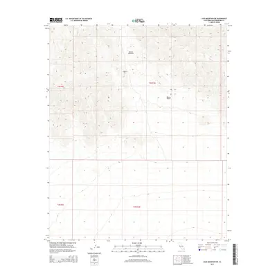
2015 Map of Lead Mountain SW
USGS Topo · Published 2015About this map
The Bullion Mountains dominate the northern landscape of this remote desert quadrangle, rising above the arid floor of the Mojave Desert. This 2015 U.S. Geological Survey representation captures a portion of the vast California interior, defined by sharp topographic relief and high-altitude transitions. A critical natural crossing point is found at Cleghorn Pass, where the terrain briefly yields to a navigable gap between the peaks. The map is largely structured by the Public Land Survey System, showing the intersections of township and range lines like t3n r9e and t3n r10e. This specific layout illustrates the systematic division of western lands even in areas devoid of permanent settlements or modern road infrastructure, reflecting the enduring legacy of 19th-century surveying in the contemporary desert environment.
Find a feature on this map
7 named features on this map. Tap any name to fly to it.
Don’t see what you’re looking for? This feature index may not catch every label — zoom into the map to look around manually.
Map Details
Editions of this 2015 Lead Mountain SW Map
This is the sole edition of this map. No revisions or reprints were ever made.
Other maps of this area

1942 · Amboy
USGS Topo · 1:250,000

1943 · Amboy
USGS Topo · 1:250,000

1953 · San Bernardino
USGS Topo · 1:250,000

1954 · Needles
USGS Topo · 1:250,000

1954 · Valley Mtn
USGS Topo · 1:24,000

1955 · Lead Mountain
USGS Topo · 1:24,000

1955 · Deadman Lake SE
USGS Topo · 1:24,000

1955 · Lead Mtn. NE
USGS Topo · 1:24,000

1955 · Deadman Lake NE
USGS Topo · 1:24,000

1955 · Lead Mountain SW
USGS Topo · 1:24,000