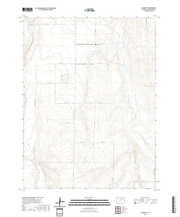
2022 Map of Leader SE
USGS Topo · Published 2022About this map
Woolsey Cem sits at the intersection of Mimosa Rd and E 88th Ave, marking a quiet historical point in this rural landscape of Adams County. The terrain is defined by a series of north-south drainages, most notably Muddy Cr and E Bijou Cr, which have shaped the local topography. This region is characterized by a disciplined grid of rural section roads, such as Co Rd 52 and Peoria Crossing Rd, which divide the high plains into large agricultural tracts. Small water management features, including the Bramkamp Reservoir and the uniquely titled No Name 1-1 Number 1 Reservoir, highlight the importance of water storage in this arid environment. Significant landform features like Lone Tree Gulch and Cabin Gulch provide distinct geographic markers for researchers tracing local property boundaries and historic transit routes.
Find a feature on this map
28 named features on this map. Tap any name to fly to it.
Don’t see what you’re looking for? This feature index may not catch every label — zoom into the map to look around manually.
Map Details
Editions of this 2022 Leader SE Map
This is the sole edition of this map. No revisions or reprints were ever made.
Other maps of this area

1951 · Leader NW
USGS Topo · 1:24,000

1951 · Leader SE
USGS Topo · 1:24,000

1951 · Leader
USGS Topo · 1:24,000

1952 · Leader SW
USGS Topo · 1:24,000

1953 · Denver
USGS Topo · 1:250,000

1954 · Limon
USGS Topo · 1:250,000

1956 · Peoria
USGS Topo · 1:24,000

1956 · Byers
USGS Topo · 1:24,000

1957 · Denver
USGS Topo · 1:250,000

1957 · Limon
USGS Topo · 1:250,000