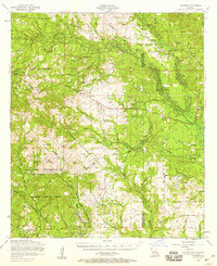
1954 Map of Leander
USGS Topo · Published 1958About this map
Fort Polk Military Reservation and the Kisatchie National Forest dominate this mid-century landscape in Central Louisiana. The area is defined by the remnants of the timber industry, shown through several stretches of dismantled railroad that once linked the sawmill town of Fullerton to the outside world. This map captures the region during a transition from intensive logging to military and forest management, where small communities like Lacamp, Leander, and Sieper are connected by a network of rural roads and family-named landmarks.
Find a feature on this map
64 named features on this map. Tap any name to fly to it.
Don’t see what you’re looking for? This feature index may not catch every label — zoom into the map to look around manually.
Map Details
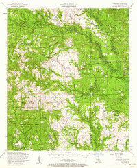
Editions of this 1954 Leander Map
2 editions found
Other maps of this area

1932 · Boyce SW
USGS Topo · 1:31,680

1935 · Pawnee
USGS Topo · 1:31,680

1937 · Chopin SW
USGS Topo · 1:31,680

1937 · Chopin SE
USGS Topo · 1:31,680

1941 · Slagle
USGS Topo · 1:62,500

1941 · Boyce
USGS Topo · 1:62,500

1942 · Kisatchie
USGS Topo · 1:62,500

1942 · Oakdale
USGS Topo · 1:62,500

1943 · Leander
USGS Topo · 1:62,500

1943 · Kisatchie
USGS Topo · 1:62,500