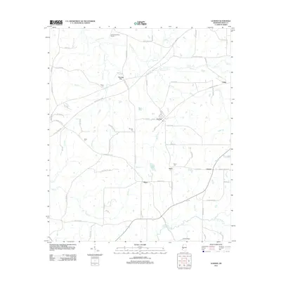
2012 Map of Learned
USGS Topo · Published 2012About this map
Learned serves as a central hub in this Hinds County landscape, where rural roads and historic routes intersect south of the Natchez Trace Pkwy. The map documents a cluster of small settlements including Morning Star, Oakley, Salem, and Adams, reflecting a distributed community pattern typical of this part of Mississippi. Local history and genealogy are anchored by several family-named landmarks and burial grounds, such as Auburn Cem, Nalley Cem, and Morrison Cem.
Find a feature on this map
79 named features on this map. Tap any name to fly to it.
Don’t see what you’re looking for? This feature index may not catch every label — zoom into the map to look around manually.
Map Details
Editions of this 2012 Learned Map
This is the sole edition of this map. No revisions or reprints were ever made.
Other maps of this area

1903 · Jackson
USGS Topo · 1:125,000

1934 · Raymond
USGS Topo · 1:48,000

1937 · Raymond
USGS Topo · 1:62,500

1937 · Terry
USGS Topo · 1:48,000

1938 · Edwards
USGS Topo · 1:62,500

1942 · Raymond
USGS Topo · 1:62,500

1943 · Terry
USGS Topo · 1:62,500

1955 · Jackson
USGS Topo · 1:250,000

1961 · Jackson
USGS Topo · 1:250,000

1962 · Jackson
USGS Topo · 1:250,000