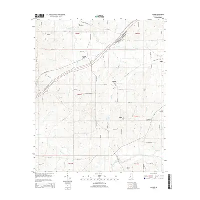
2015 Map of Learned
USGS Topo · Published 2015About this map
The town of Learned serves as a central hub in this Hinds County landscape, situated where several local routes like Main St and Front St converge near Bitter Creek. The area is notably defined by the Natchez Trace Parkway and National Scenic Trail, which cuts diagonally across the northern terrain, mirroring the historical significance of this ancient corridor. Small communities and named locales such as Morning Star, Salem, and Lebanon are scattered throughout, often anchored by local heritage sites. For those tracing family histories, numerous burial grounds are documented, including Salem Cemetery, Oak Grove Cemetery, and the Morrison Cemetery located off Morrison Cemetery Rd. The physical geography is marked by a network of drainage including Fourteenmile Creek and Tallahalla Creek, illustrating the rural character of the region as it appeared in 2015.
Find a feature on this map
82 named features on this map. Tap any name to fly to it.
Don’t see what you’re looking for? This feature index may not catch every label — zoom into the map to look around manually.
Map Details
Editions of this 2015 Learned Map
This is the sole edition of this map. No revisions or reprints were ever made.
Other maps of this area

1903 · Jackson
USGS Topo · 1:125,000

1934 · Raymond
USGS Topo · 1:48,000

1937 · Raymond
USGS Topo · 1:62,500

1937 · Terry
USGS Topo · 1:48,000

1938 · Edwards
USGS Topo · 1:62,500

1942 · Raymond
USGS Topo · 1:62,500

1943 · Terry
USGS Topo · 1:62,500

1955 · Jackson
USGS Topo · 1:250,000

1961 · Jackson
USGS Topo · 1:250,000

1962 · Jackson
USGS Topo · 1:250,000