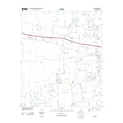
2013 Map of Leary
USGS Topo · Published 2013About this map
Victory City and the surrounding Bowie County settlements are captured in this 2013 landscape, where residential expansion increasingly interacts with the area’s rural creek systems. The geography is defined by the winding paths of Barkman Cr and Akin Cr, which cut through a network of farm-to-market roads and newer subdivisions. The map records several small, established communities like Red Springs and Red Lick, as well as the western edge of Nash.
Find a feature on this map
170 named features on this map. Tap any name to fly to it.
Don’t see what you’re looking for? This feature index may not catch every label — zoom into the map to look around manually.
Map Details
Editions of this 2013 Leary Map
This is the sole edition of this map. No revisions or reprints were ever made.
Other maps of this area

1909 · New Boston
USGS Topo · 1:62,500

1909 · Texarkana
USGS Topo · 1:62,500

1950 · Redbank
USGS Topo · 1:24,000

1950 · Ogden
USGS Topo · 1:24,000

1950 · Barkman
USGS Topo · 1:24,000

1951 · Redbank
USGS Topo · 1:24,000

1951 · Ogden
USGS Topo · 1:24,000

1951 · Barkman
USGS Topo · 1:24,000

1953 · Texarkana
USGS Topo · 1:250,000

1954 · Texarkana
USGS Topo · 1:24,000