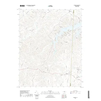
2019 Map of Leasburg
USGS Topo · Published 2019About this map
Hyco Lake and its intricate northern shoreline dominate the northeastern landscape where Caswell and Person Counties meet. This 2019 survey captures the developed residential areas bordering the water, including Pine Harbor Road and Pine Knoll Acres. To the south, the village of Leasburg serves as a central hub, surrounded by a complex network of creeks like Hyco Creek and Reedy Fork. Genealogists and local historians can locate established landmarks such as the Ebenezer Church Cem and Gilead Cem, alongside smaller settlements like Semora and Osmond. The landscape transitions from the aquatic recreation and residential growth around the lake to the more traditional rural patterns of the Piedmont, marked by old family roads including Solomon Lea Road and Yarborough Mill Road.
Find a feature on this map
69 named features on this map. Tap any name to fly to it.
Don’t see what you’re looking for? This feature index may not catch every label — zoom into the map to look around manually.
Map Details
Editions of this 2019 Leasburg Map
This is the sole edition of this map. No revisions or reprints were ever made.
Other maps of this area

1923 · Danville
USGS Topo · 1:48,000

1925 · Danville
USGS Topo · 1:62,500

1952 · Milton
USGS Topo · 1:62,500

1953 · Greensboro
USGS Topo · 1:250,000

1954 · Greensboro
USGS Topo · 1:250,000

1956 · Milton
USGS Topo · 1:62,500

1962 · Greensboro
USGS Topo · 1:250,000

1965 · Ringgold
USGS Topo · 1:24,000

1966 · Greensboro
USGS Topo · 1:250,000

1968 · Leasburg
USGS Topo · 1:24,000