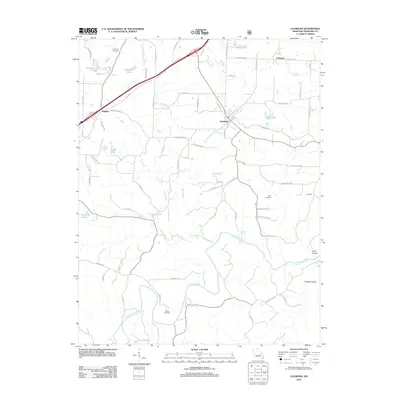
2012 Map of Leasburg
USGS Topo · Published 2012About this map
Leasburg stands as the central hub of this Crawford County landscape, where the northern transport corridor of Old 66 and the modern interstate intersect with the rolling drainage of the Little Bourbeuse River. The southern half of the map is defined by the winding course of the Meramec River, which carves through the terrain near Harman Valley and Avery Hollow. Local history is deeply etched into the countryside through family-named sites such as McNickle Cemetery, Avery Cemetery, and Haack Cemetery, providing essential landmarks for genealogical research.
Find a feature on this map
76 named features on this map. Tap any name to fly to it.
Don’t see what you’re looking for? This feature index may not catch every label — zoom into the map to look around manually.
Map Details
Editions of this 2012 Leasburg Map
This is the sole edition of this map. No revisions or reprints were ever made.
Other maps of this area

1903 · Sullivan
USGS Topo · 1:125,000

1932 · Steelville
USGS Topo · 1:48,000

1933 · Steelville
USGS Topo · 1:62,500

1937 · Steelville
USGS Topo · 1:62,500

1943 · Berryman
USGS Topo · 1:62,500

1945 · Berryman
USGS Topo · 1:62,500

1947 · Sullivan
USGS Topo · 1:62,500

1948 · Cuba
USGS Topo · 1:24,000

1948 · Leasburg
USGS Topo · 1:24,000

1948 · Argo
USGS Topo · 1:24,000