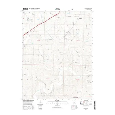
2015 Map of Leasburg
USGS Topo · Published 2015About this map
Leasburg serves as the central hub of this Missouri landscape, situated near the historic path of Old 66. The settlement pattern reflects a mix of small communities and rural family landmarks, with Coffeyton to the northeast and Hofflins to the west. The terrain is defined by its water sources, from the Little Bourbeuse River in the north to the winding Meramec River that cuts through the southern reaches near the Mark Twain National Forest. Local history is preserved in several burial grounds, including Lea Cemetery, McNickle Cemetery, and Haack Cemetery. Natural springs like Saranac Spring and McKee Spring highlight the karst topography typical of this region, while man-made features like Boo Boo Lake and Matthews Lake show the modern modification of the drainage basins.
Find a feature on this map
91 named features on this map. Tap any name to fly to it.
Don’t see what you’re looking for? This feature index may not catch every label — zoom into the map to look around manually.
Map Details
Editions of this 2015 Leasburg Map
This is the sole edition of this map. No revisions or reprints were ever made.
Other maps of this area

1903 · Sullivan
USGS Topo · 1:125,000

1932 · Steelville
USGS Topo · 1:48,000

1933 · Steelville
USGS Topo · 1:62,500

1937 · Steelville
USGS Topo · 1:62,500

1943 · Berryman
USGS Topo · 1:62,500

1945 · Berryman
USGS Topo · 1:62,500

1947 · Sullivan
USGS Topo · 1:62,500

1948 · Cuba
USGS Topo · 1:24,000

1948 · Leasburg
USGS Topo · 1:24,000

1948 · Argo
USGS Topo · 1:24,000