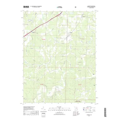
2017 Map of Leasburg
USGS Topo · Published 2017About this map
Leasburg and the surrounding Crawford County highlands are defined by the winding course of the Meramec River and the northern reaches of the Mark Twain National Forest. This 2017 study illustrates a landscape where modern transportation corridors like N Outer Rd parallel the legacy of Old Hwy 66, reflecting the region's evolution from a rural rail-and-road stop to its current character. The rugged topography is punctuated by numerous small water bodies such as Pine Lake and Klontz Lake, alongside distinctive local landmarks like Sprinkles Bass Hole.
Find a feature on this map
93 named features on this map. Tap any name to fly to it.
Don’t see what you’re looking for? This feature index may not catch every label — zoom into the map to look around manually.
Map Details
Editions of this 2017 Leasburg Map
This is the sole edition of this map. No revisions or reprints were ever made.
Other maps of this area

1903 · Sullivan
USGS Topo · 1:125,000

1932 · Steelville
USGS Topo · 1:48,000

1933 · Steelville
USGS Topo · 1:62,500

1937 · Steelville
USGS Topo · 1:62,500

1943 · Berryman
USGS Topo · 1:62,500

1945 · Berryman
USGS Topo · 1:62,500

1947 · Sullivan
USGS Topo · 1:62,500

1948 · Cuba
USGS Topo · 1:24,000

1948 · Leasburg
USGS Topo · 1:24,000

1948 · Argo
USGS Topo · 1:24,000