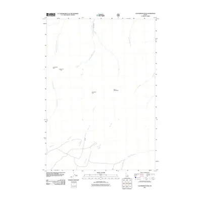
2011 Map of Leatherman Peak
USGS Topo · Published 2011About this map
Leatherman Peak and Donaldson Peak define the high-altitude topography of this 2011 survey, marking some of the most significant elevations in Custer County. The map documents the drainage patterns of the Lost River Range, where the West Fork Pahsimeroi River and East Fork Pahsimeroi River begin their northern descent. This hydrological network is further characterized by numerous seasonal and perennial streams, including Lone Cedar Creek, Jones Creek, and Pete Creek, which flow through the steep canyons between the major summits. Leatherman Pass provides a key transition point in the high country, sitting between the prominent peaks. The map also records the winding paths of Dry Creek and West Fork Burnt Creek, offering a detailed perspective of the watershed prior to any modern shifts in seasonal flow or forest management access roads.
Find a feature on this map
12 named features on this map. Tap any name to fly to it.
Don’t see what you’re looking for? This feature index may not catch every label — zoom into the map to look around manually.
Map Details
Editions of this 2011 Leatherman Peak Map
This is the sole edition of this map. No revisions or reprints were ever made.
Other maps of this area

1935 · MacKay
USGS Topo · 1:96,000

1935 · Borah Peak
USGS Topo · 1:125,000

1938 · Borah Peak
USGS Topo · 1:125,000

1940 · Mackay
USGS Topo · 1:62,500

1955 · Dubois
USGS Topo · 1:250,000

1955 · Idaho Falls
USGS Topo · 1:250,000

1958 · Dubois
USGS Topo · 1:250,000

1958 · Idaho Falls
USGS Topo · 1:250,000

1960 · Mackay
USGS Topo · 1:62,500

1960 · Copper Basin
USGS Topo · 1:62,500