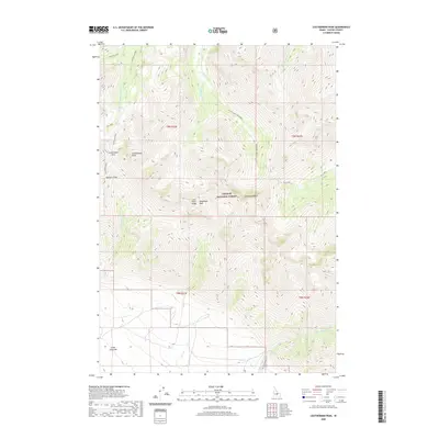
2020 Map of Leatherman Peak
USGS Topo · Published 2020About this map
Leatherman Peak and Donaldson Peak dominate this high-altitude landscape in the Lost River Range. The terrain is defined by the steep drainage systems of the Challis National Forest, where the headwaters of the W Fork Pahsimeroi River and E Fork Pahsimeroi River begin their descent. Small alpine basins hold Merriam Lake and Pass Lake, while geographic transitions are marked by Leatherman Pass and the deep incision of Sawmill Gulch.
Find a feature on this map
25 named features on this map. Tap any name to fly to it.
Don’t see what you’re looking for? This feature index may not catch every label — zoom into the map to look around manually.
Map Details
Editions of this 2020 Leatherman Peak Map
This is the sole edition of this map. No revisions or reprints were ever made.
Other maps of this area

1935 · MacKay
USGS Topo · 1:96,000

1935 · Borah Peak
USGS Topo · 1:125,000

1938 · Borah Peak
USGS Topo · 1:125,000

1940 · Mackay
USGS Topo · 1:62,500

1955 · Dubois
USGS Topo · 1:250,000

1955 · Idaho Falls
USGS Topo · 1:250,000

1958 · Dubois
USGS Topo · 1:250,000

1958 · Idaho Falls
USGS Topo · 1:250,000

1960 · Mackay
USGS Topo · 1:62,500

1960 · Copper Basin
USGS Topo · 1:62,500