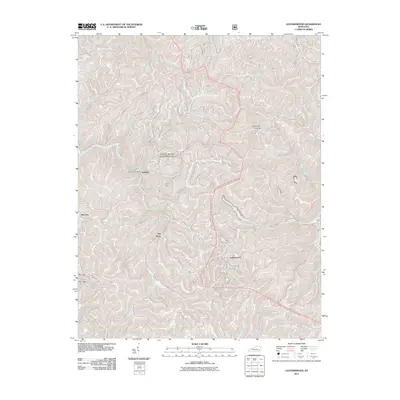
2011 Map of Leatherwood
USGS Topo · Published 2011About this map
Daniel Boone National Forest dominates this section of Perry County, where the steep terrain of the Cumberland Plateau is deeply incised by a dense network of waterways. Small settlements and local hubs like Leatherwood and Yeaddis are found along the valley floors, following the natural corridors carved by streams. The proximity of the Yeaddis Post Office to Cutshin Creek and the surrounding timberlands illustrates the traditional reliance on narrow bottomlands for community life and transport.
Find a feature on this map
54 named features on this map. Tap any name to fly to it.
Don’t see what you’re looking for? This feature index may not catch every label — zoom into the map to look around manually.
Map Details
Editions of this 2011 Leatherwood Map
This is the sole edition of this map. No revisions or reprints were ever made.
Other maps of this area

1887 · Jonesville
USGS Topo · 1:125,000

1891 · Hazard
USGS Topo · 1:125,000

1891 · Jonesville
USGS Topo · 1:125,000

1903 · Harlan
USGS Topo · 1:48,000

1916 · Cornettsville
USGS Topo · 1:62,500

1916 · Harlan
USGS Topo · 1:48,000

1916 · Nolansburg
USGS Topo · 1:48,000

1916 · Hyden
USGS Topo · 1:48,000

1919 · Nolansburg
USGS Topo · 1:62,500

1919 · Hyden
USGS Topo · 1:62,500